Guillaume Zini
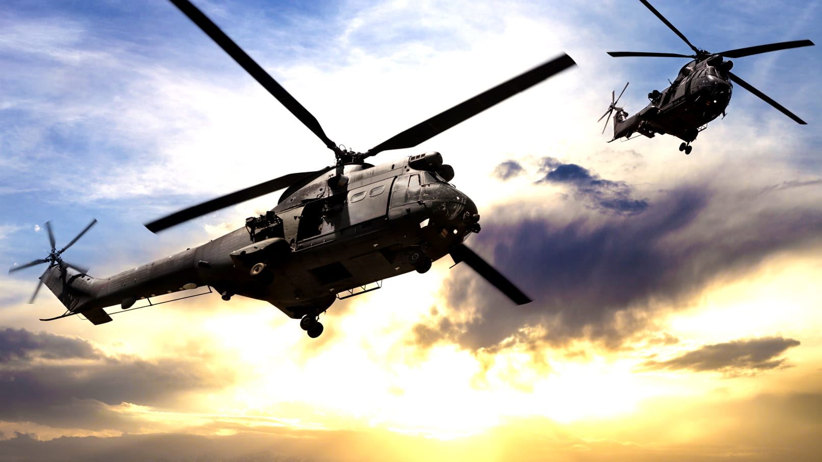
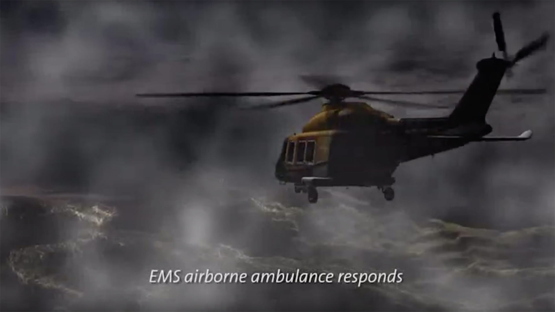
Whether it's an offshore transport, air ambulance, law enforcement or search-and-rescue mission, your helicopter aircrew operates in dynamic environments where environmental conditions can change rapidly. Critical to mission safety and success is maintaining situational awareness regardless of the outside conditions.
HeliSure™ flight situational awareness solutions address this challenge with unique products that combine 3D visualization, sensors and databases to provide unprecedented situational awareness for helicopters. All while optimizing size, weight, power and cost for a breadth of rotary wing solutions.
The first two products of the HeliSure family are Helicopter Synthetic Vision System (H-SVS) and the Helicopter Terrain Awareness and Warning System (H-TAWS).
All-Weather Operations
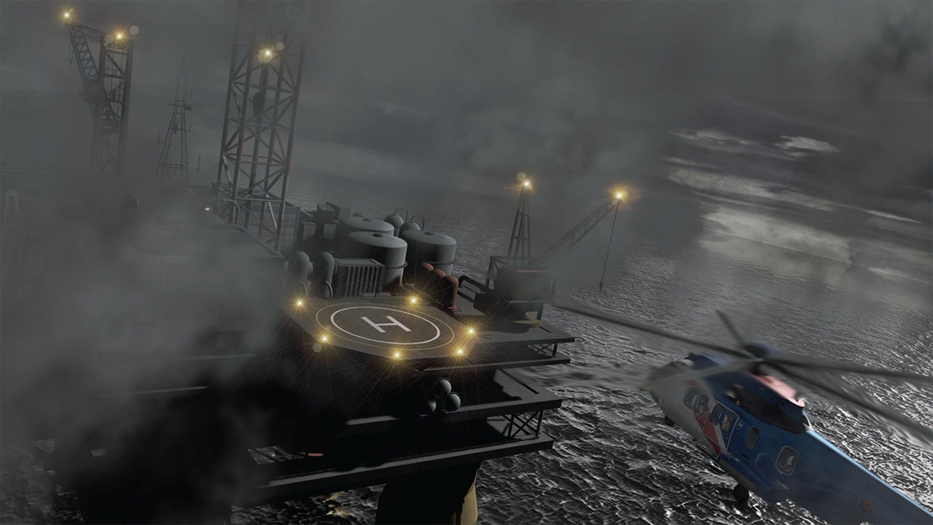
Every minute of every day, in every corner of the world, a helicopter is performing a critical mission – often at low altitudes, in visually restricted conditions and in unfamiliar locations. HeliSure offers advanced detection technologies that enhance situational awareness, whatever the environmental conditions, including short- and long-distance obstacle detection, traffic avoidance and terrain awareness. Plus, HeliSure is augmented with near real-time weather information from off-board sources, helping air crews safely reach their destinations.
Intuitive Pilot Interface
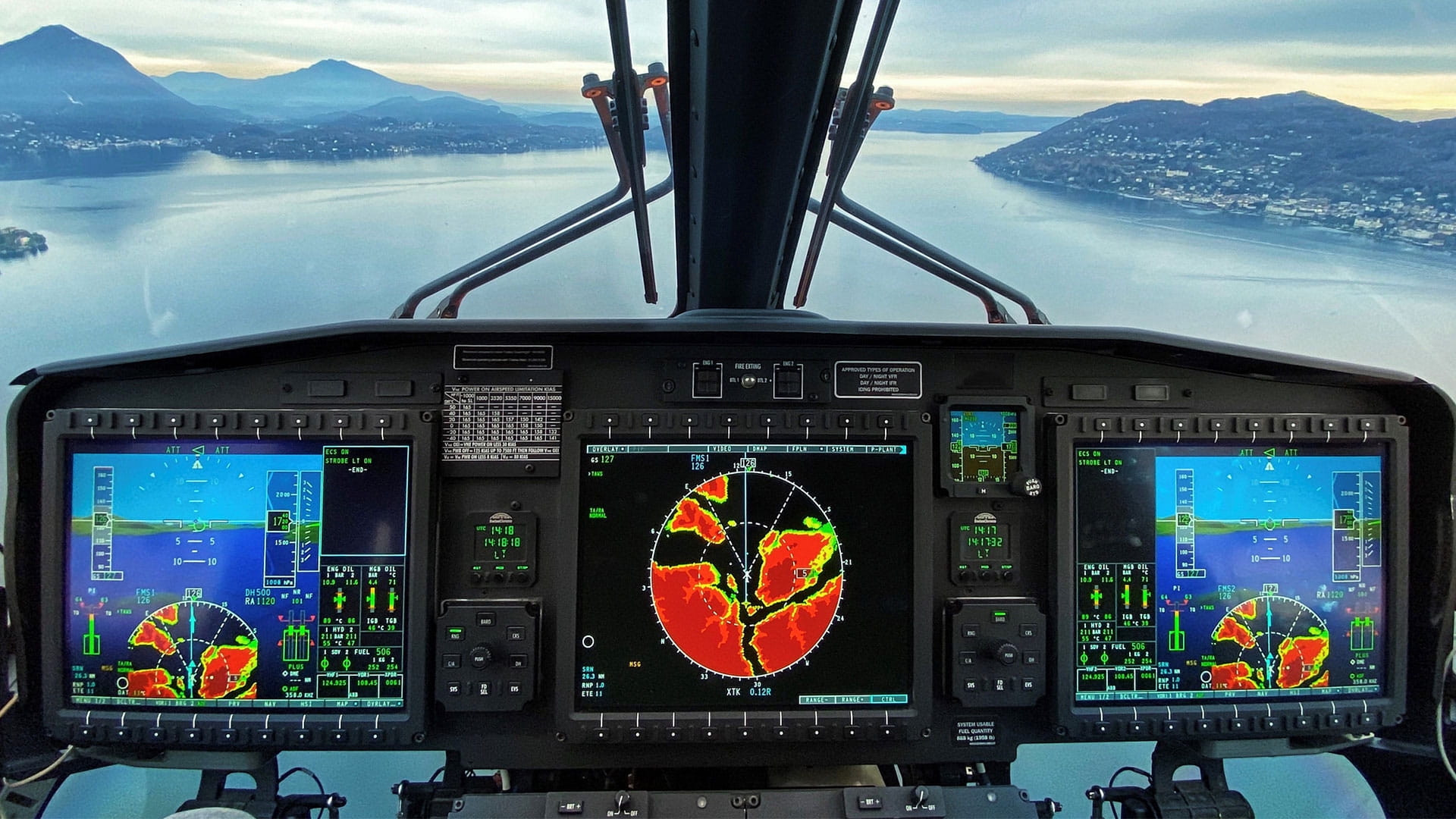
Statistics show high-workload, low-visibility situations are the leading cause of controlled flight into terrain (CFIT) accidents. HeliSure offers an intuitive pilot interface with an unrivaled array of information about the environment, both outside and inside the aircraft. Real-time sensor data is blended with 3D visualization to ensure information can be processed easily, quickly and effectively.
Photo credit: Alasdair Auchincloss
Optimized size, weight, power and cost
As effective and efficient as HeliSure is for pilots, it offers the same advantages to your overall flight operations. The system’s footprint, including power consumption, is designed to keep its value strong.
Flexible Scalability
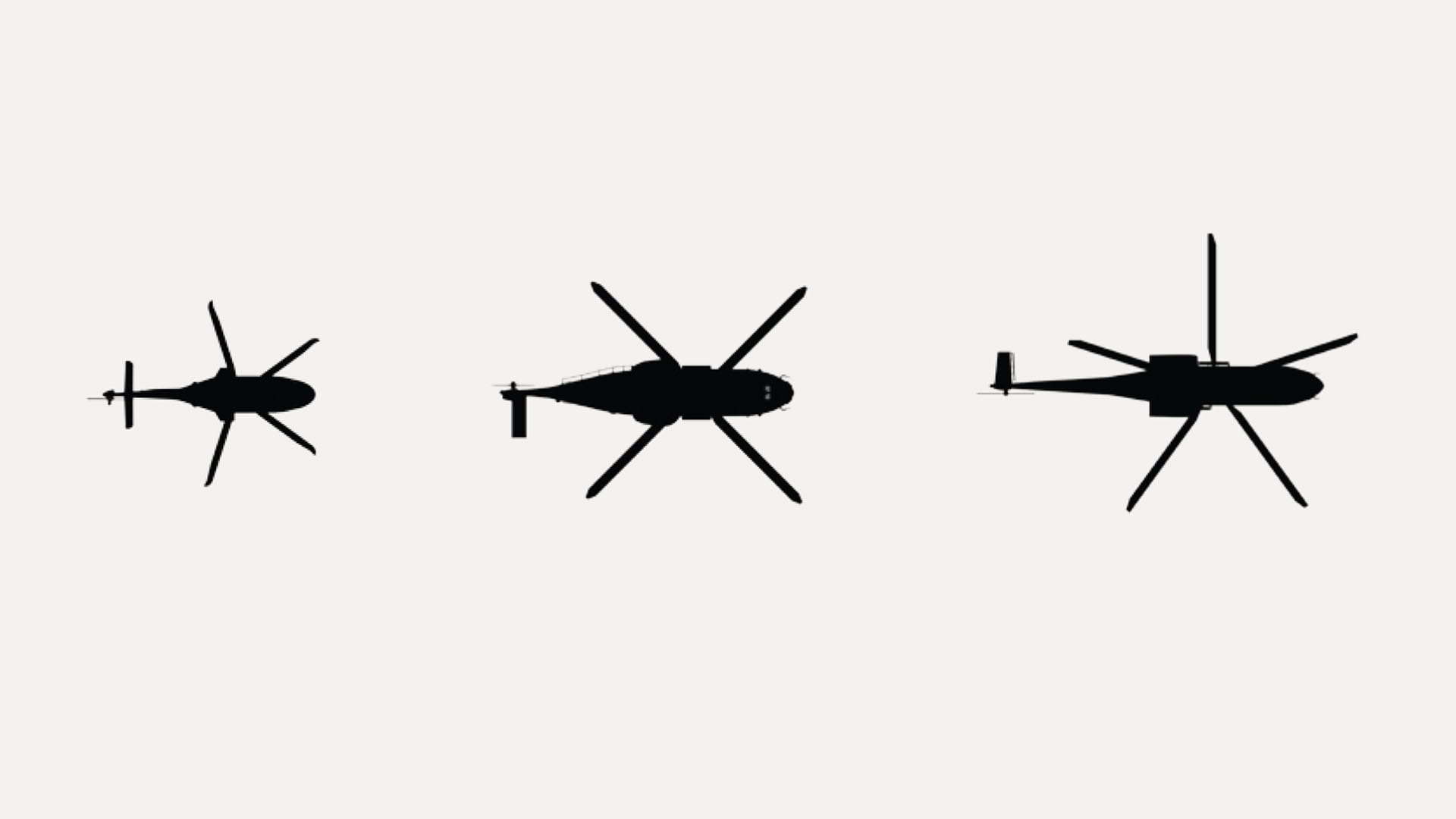
HeliSure’s scalability and flexibility make it a compelling choice for a wide variety of light, medium or heavy helicopters. Its flexibility makes it compatible with a host of different system configurations – whether stand-alone or highly integrated with other avionics. Its open system software architecture makes technology upgrades simple and cost-effective, so you can depend on HeliSure to deliver highly advanced capability today and tomorrow.
And we design HeliSure with an open systems architecture, so you can depend on it to deliver highly advanced capabilities today and tomorrow, simply and effectively.
Watch: Collins Aerospace HeliSure™ Flight Situational Awareness Solutions
HeliSure H-TAWS
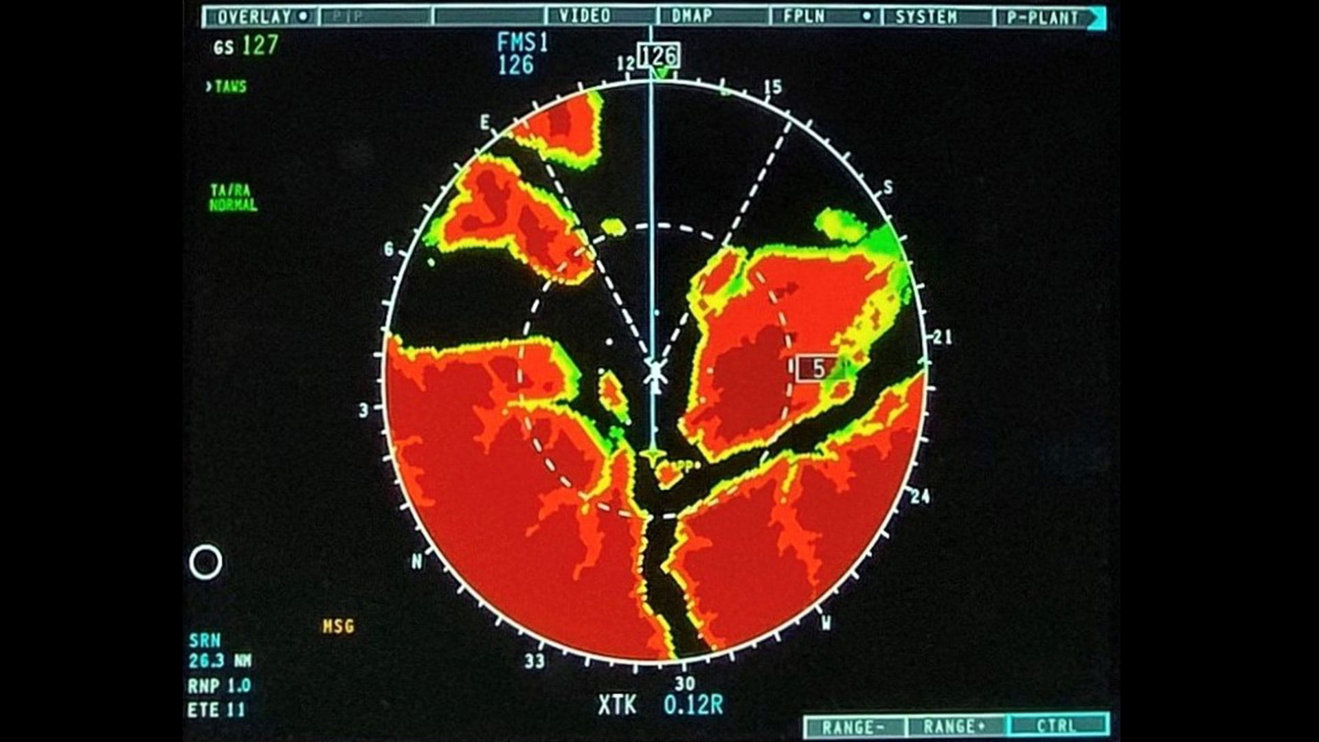
Our HeliSure™ Helicopter Terrain Awareness and Warning System (H-TAWS) software solution provides your pilots with a fully compliant, Class A terrain awareness and warning system for light, medium and heavy rotorcraft.
Integrated as part of our large format cockpit display systems, HeliSure H-TAWS features Sandel’s proven TrueAlert® algorithms to offer the best available graphical depictions of terrain and obstacles along the flight path. Concise warnings enable your pilots to fly more safely in even the most demanding missions.
Features & benefits
- High-resolution terrain data with low sensitivity mode Text caution and advisory on PFD, combined with aural alert, minimizes nuisance alerts during low-altitude operations
- Visual and aural alerts for quick and effective information
- Complete picture of graphical terrain and obstacle threat awareness on HSI and moving map, integrated with Synthetic Vision System and mission planning/flight plan overlays
- Software-only solution eliminates need for external LRU reducing size, weight and power requirement
HeliSure H-SVS
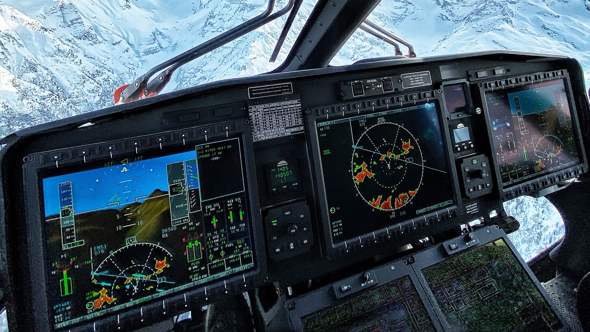
HeliSure™ Helicopter Synthetic Vision System (H-SVS) is a fully integrated software solution. When combined with our high-resolution large area displays and high-integrity databases, H-SVS provides your helicopter pilots with a “real-world” view of the terrain and obstacles along their flight path. This minimizes the stress of high-workload, low-visibility situations that are a leading cause of Controlled Flight Into Terrain (CFIT) accidents.
Photo credit: Alasdair Auchincloss
Features & benefits
- Realistic 3D image based on high-resolution database provides highly realistic depiction in support of degraded visual environment operations
- Differentiates buildings, towers and other obstacles on PFD, integrates awareness of obstacles and terrain along flight path
- Extensive information with intuitive presentation of airport, runway and taxi symbology aids pilots in aircraft maneuvering through congested areas
- Software-only solution eliminates need for external LRU reducing size, weight and power requirement